Wednesday, April 03, 2013

Complete Confusion of Chronology

PG says I must mention that the posts about our vacation days did not appear here in order written, newest on top, but rather were intercalated below carrying the dates they happened. March 21 Shipwatching, March 22 Wings of a Black-Legged Kittiwake, March 23-25 Mostly Being Together With Friends (in Another Country).

Even I can't make sense of what I have done to chronology. It's all because blogs are upside down, yes? I will now complete the disorder with some headline no-longer-news about our last day. On 26 March we went out to the Outer Coast to look for Whales at First Beach. We saw elk on the way, yaay for charismatic megafauna, but no whales at First Beach. The light was flatter than flat, no decent photos. We ate our sandwiches while not seeing the whales, then drove around to Rialto for a little beach time. Beauty, flat light, in truth flat spirits as well. But we were there. As were the elk, still, on the drive home.

Those elk on Beaver Prairie, March 26, 2013 (Click for larger image.)
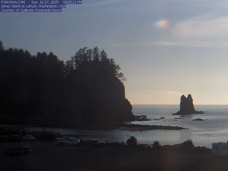
A boat in the channel. Quileute River as seen from the point in La Push where we didn't see whales, March 26, 2013 (Click for larger image.)
Rialto Beach in flat light, March 26, 2013 (Click for larger image.)

Thursday, March 28, 2013

Pinky-Beige Morning

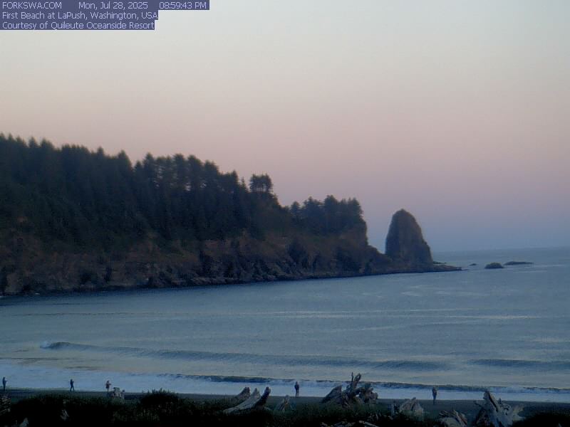
The Strait was very sugar-plum colors for a couple of minutes this morning. The camera didn't catch it.

March 28, 2013 (Click for larger image.)

Wednesday, March 27, 2013

The River From The Air

That was then, this is now: Tom Roorda's March 23rd image of the Elwha River flowing into the Strait. (To see the sandspit that is no longer there, look at the image in the Kitsap Sun article.)

... (Click for larger image.)

Thank you to Mr. Roorda for permission to show his image, and to Anne Shaffer of Coastal Watershed Institute for sending it.

Coming Attractions

PG has been visiting since Thursday last. We have been on Ediz Hook, at Hobuck Beach (and on the Strait at Deep Creek), up to Surrey BC and back with much running about while there, and to First Beach to look for whales. Got elk on Beaver Prairie instead. Details will follow.

Elk by Highway 101. March 26, 2013 (Click for larger image.)

Hmmm. Am posting these adventures with their actual dates, so they precede this post on the page...

Monday, March 25, 2013

Mostly Being Together with Friends (In Another Country)

We started out even earlier on the 23rd, to make the ferry from Port Townsend to Whidbey Island.

The ferry Kennewick (Click for larger image.)

It had SNOWED a lot right there around Keystone Harbor where the ferry lands; and no snow at all within a couple of miles north. Very odd. We hustled ourselves north across Deception Pass and up across the border to South Surrey, BC, to visit friends. Saturday—Sunday—Monday. (On Sunday PG went down to Bellingham to visit other friends.)

We ran about locally, just north of the US/Canada border, variously seeing the Peace Arch, our familiar Mount Baker from a completely different angle, and lots of birds. On Saturday afternoon after PG had a quick nap, we drove around through White Rock, Crescent Beach, out on Blackie Spit, and into Elgin Heritage Park, birdwatching all the way.

Downtown Vancouver from Crescent Beach (Click for larger image.)
The owlhouse in Elgin Heritage Park, along the course of Chantrell Creek... (Click for larger image.)

Sunday PG went off to Bellingham and the rest of us had a long slow morning (three breakfasts!), then went out to Serpentine Fen for more birds and more landscape and more sightings of Mount Baker and more failed photos.

A Shoveler in Serpentine Fen. About the only bird pictures that came out were shovelers. Lots of shovelers... (Click for larger image.)
What the GPS exif data says about where all those failed photos were taken (Click for larger image.)

Friday, March 22, 2013

Wings of a Black-Legged Kittiwake

March 22, 2013. Up and out early, rendezvous at the Albertson's parking lot to join the beached-bird-survey for COASST at Hobuck Beach (map). PG much interested to see how we do what we do when presented with the need to identify (parts of) a dead bird. It snowed the night before, we drove west through a fairyland of snowcovered trees. (No pix.) (Last year it snowed on March 15. Good tsunami debris pix in that post, too.) But when we reached the outer coast, blue sky and sunshine, and so it remained for the whole day. Swans on the Wa'atch River. Not much in the wy of other live birds.

Sunshine in Neah Bay, March 22, 2013 (Click for larger image.)
Sunshine at Hobuck Beach (Click for larger image.)

We were seven people altogether, one of us a high school student from Forks, learning how a COASST survey is done as he is considering using COASST for his senior project next year. We found not so many bird carcasses, three new ones, three re-finds. There was a common murre, and the wings of a black-legged kittiwake. So brilliant is the Beached Birds field manual and the identification protocol that we had very little trouble knowing just what we had from the wings (and the manual pages) alone; both PG and S. from Forks learned a lot on this one bird.

Working the kittiwake (Click for larger image.)

There was an area of the beach with a whole lot of fibrous wrack (washed down the rivers from the forests??); surprisingly many razor clams which we've never noticed at Hobuck before; an orange finger sponge; and the usual enormous intact sand dollars.

Orange finger sponge and sand dollar (Isodictya rigida and Dendraster excentricus) (Click for larger image.)

We were also doing a marine debris survey, following the new protocol: photograph anything of note ANYWHERE with the identifying slate to show size, date and location; and gather everything the size of a bottlecap or larger in a GPS-located 100-yard-long stretch of beach, from the grass down to the waterline, and tally every bit of it.

Tallying debris from the transect. (Click for larger image.)

The new protocol follows from the increased attention to debris because of the March, 2011, tsunami. But you usually can't say more than 'might be tsunami debris'. Also might not. We know we see the flying saucer floats since the tsunami debris began arriving; but no proof that any particular flying saucer float is Japanese, still less certain that it was torn loose in March of 2011. A Korean instant noodle packet, obviously not. A notched piece of house lumber? Sure looks like Japanese joinery to me...

Dragging a barnacle-covered float out of reach of the tide (Click for larger image.)
Korean noodles. Netting entangled with kelp. Tagged float. (Click for larger image.)
A piece of house from Japan? (Click for larger image.)

On the way home we stopped along the Strait at Deep Creek so our leader, HP, could look for a piece of equipment she had lost last week when laying out the marine debris transect for that beach. The weather remained glorious. (We heard later it had snowed in Seattle...). PG says there has to be a picture of me occasionally. Here I am on the Strait at Deep Creek, in my Lewis&Clark pose.

... (Click for larger image.)

Thursday, March 21, 2013

Shipwatching (Recollected)

Thursday, March 21. Spring break at the college began at 4 in the afternoon, and PG arrived from Santa Fe shortly afterwards. She requisitioned a nap, and then to go out on Ediz Hook. (I thought the nap was because she gotten a bit lost near SeaTac and near Poulsbo, and it was longer driving out here than expected. Turns out the nap was because she was on vacation and naps were an important part of her itinerary.) Tankers galore in the harbor, two Polars and two Alaskans. Conditions were not best for observing ship details out on the Strait, kind of misty out there to the north, but we managed to identify sundry ships, inbound and out, with the help of the iPad and marinetraffic.com. They had entertaining names, especially Grand Dahlia, and Glorious Maple. Okasana had such a baffling silhouette it took forever to figure out what we were seeing. What she was seeing, actually: PG's eyes and binoculars are much better than mine.

March 21, 2013. Looking south across Port Angeles Harbor to Klahane Ridge. (Click for larger image.)
Only one pilot boat was visible. The other was... somewhere. (Click for larger image.)
Look north across the Strait of Juan de Fuca. (Click for larger image.)

PS After much dithering about the question, have decided to date these posts about PG's visit on the days they happened, so they will file correctly; rather than the day written, as much as 10 days later.

Wednesday, March 20, 2013

The River, The River

Another of Tom Roorda's terrific aerial photos of the mouth of the Elwha River appeared in a most informative article by Chris Dunagan from the Kitsap Sun on March 2nd. I went out Place Road and walked the dyke there on March 7th, after work at the college, for a late-afternoon low-ish tide. I wanted to see whether, if you walked as far east as you could get on the new sandspit, a different angle up the valley could give you Mt. Olympus framed by the river mouth. But it was cloudy to the south. No mountains. I walked out anyway.

March 7, 2013. Sand spit where the Elwha River meets the Strait. (Click for larger image.)

There was not a coincidence of sunny-over-the-Olympic-Mountains plus low-tide-at-an-accessible-hour until the 18th. I was working in the tribal library. The sun was out, and the wind blowing hard. People blown into the library either talked about the sunshine, or complained about the wind. I kept my eye on the clock and went, in good time. And all was changed. The river is just now flowing straight out, and turned the eastern end of the sandy flats into an island accessible only to the gulls; with side channels beyond, on the reservation side of the river.

March 18, 2013. Mount Angeles in the near reaches of the Olympic Mountains (Click for larger image.)
The river flows straight out. March 18, 2012 (Click for larger image.)
Gulls standing around where I had hoped to be. (Click for larger image.)
The east side of the river, the tribe's shore. March 18, 2013. River flowing directly past in the foreground. (Click for larger image.)
Same March 7 image as above, marked with pink brackets <> to show where the west edge of the river reached the Strait on March 18. (Click for larger image.)
Quick shaky panorama. Vancouver Island to the north on the other side of the Strait, Olympic Mountains to the south (but Mt. Olympus would be way to the right, behind the bluff and the trees)

Anne Shaffer of the Coastal Watershed Institute tells me that they had been out sampling the new and old side channels in the newly formed habitat that same sunny windy morning, and found chum salmon, coho salmon and smelt. By the time I arrived the scientists had left, and there were three schoolbuses of kids from Crescent taking their own samples from further inland along the riverbank on the west side.

So many people are watching so passionately as the river is restored. Even when there is no work ongoing on the dam removal (it's in a pause), the river is changing and changing and changing.

PS. I learned from JR that there is a cemetery belonging to the tribe to the west along the shore at the end of Place Road. How have I worked at the tribe for five years and not known about it? When I left the river, I ventured west towards the end of Place Road to see where it was. There were people in the cemetery tending to a grave, so I didn't stop to look. Wouldn't have taken pictures anyway; it's not mine to show.

Saturday, March 09, 2013

Road Trip

WC came over on the ferry last Sunday, and drove me to Portland for the monthly medical adventure. We went to Powell's in the evening, spent the morning looking out the seventh-floor windows of OHSU's Center for Health and Healing, and had a sunny drive home, arriving with daylight to spare.

Let's jump straight to the good image: the road home, at the place along 101 North where suddenly the Olympics loom over the highway. Somewhere north of Shelton and south of Skokomish. Next time I will note what milepost, so I can say exactly where it is.

March 4, 2013. US 101 North (Click for larger image.)

I am still stable. So I am still in the trial, still a science project; and do not yet have to make decisions on the next line of treatment. We are still doing this one. Monthly trips to Portland will continue, by various means of transport. (Ferry only in the case of the driver when it's WC...)

March 3, 2013. Coho arriving in Port Angeles. Failed image. I want the ferry, the dock, and the wind turbine on the next dock, all in the same picture. (Click for larger image.)

Seventh floor view. The barge that Zidell Marine is building continues to grow. Willamette River, Ross Island Bridge.

March 4, 2013. View from the 7th floor. (Click for larger image.)

Seventh floor view. Willamette River, Marquam Bridge, Mount Saint Helens framed by the construction cranes and ever-growing pylons for the new Orange Line MAX light rail bridge. See maps. (1)(2). Portland is all about transportation. Rivers, freeways, bridges, trolleys, the light rail. I'd been getting the bridges mixed up, but no longer. Thank you portlandbridges.com.

March 4, 2013. View from the 7th Floor (Click for larger image.)

Good weather, lots more daylight, a friend to distract me while we hang around OHSU, and my condition remains stable. It's all good.

Sunday, March 03, 2013

I Talk to the Trees (But They Don't Listen to Me)

Expedition to the Outer Coast in vile weather. Actually JL wanted to take me up showshoeing on Hurricane Ridge, but forecast was for weather continuing to be windy and the temperature above freezing days, frozen crust at night. So we went to the ocean instead. I called the elk at all three potential elk spots. "He-e-e-er-r-r-e elky elky elky." No elk. It rained all the way west, sometimes hard. JL tried the technique of speaking optimisitcally about sunshine. Didn't work. I tried being firm, addressed a remark to the sky, "OK, that's enough, just turn it off now." That didn't work either.

So there we were on Rialto Beach in our rainsuits, the wind blowing the rain at us. The beach was clean (JL picked up the only piece of marine debris we saw, a plastic bag), lots of changes in where the logs are and the distribution of sand and gravel on the surface. The camera spent most of the day zipped inside my clothes two layers down. Occasionally I turned my back to the wind and tried to get a picture of, um, not a whole lot. Some people were walking with umbrellas. Should have done.

Rialto Beach and (barely) James Island, March 2, 2013 (Click for larger image.)

There was so much rainfall a temporary creek was running across the beach, difficult to behave as it it were real water. Got my boots wet crossing it. We walked as far as Ellen Creek, then turned around. Ellen Creek was running really full, certainly not crossable unless you were going to wet-log-walk at the back of the beach. There were lots of gulls, and we each glimpsed an eagle who emerged from the clouds and then back in again.

Ellen Creek Running Full, March 2, 2013 (Click for larger image.)

We decided to go around to La Push for lunch, but found the restaurant not open; so we sat for a while on the point overlooking First Beach where you can see the whales when the whales are there to see, long about April. Heard sea lions barking, but didn't see them. It was still raining.

Overlooking First Beach. (Click for larger image.)

The weather slowly lightened as we drove back east. It was still gray and the streets very wet when we got back to Port Angeles, but a couple of hours later it looked like this out the window:

... (Click for larger image.)

Thank you anyway, Olympic National Park.

Tuesday, February 26, 2013

Strait, River, Mountains. Sand.

Strait of Juan de Fuca under a very windy sky. Monday, I drove out Place Road and walked along the dyke path to where the Elwha River enters the Strait. High tide washing across the new sandy flats (1) and into the river. This all used to be a cobble wilderness, no sediment at all escaped the dams for a hundred years. But the dams are gone.

New Land in the Nearshore (Click for larger image.)

A baffling array of ripples of fibrous debris, well back from the edge of the Strait. Olympic Mountains to the south, whence the river flows.

... (Click for larger image.)

The windchill was fierce. A sunshower blew in for a moment. Sand. There was sand everywhere, burying the cobbles. Sand everywhere. I just couldn't believe it.

Strait on left, River to the right. (Click for larger image.)

Mute your sound before you watch these videos. All you can hear is the wind blowing across the camera.

Elwha River Meets the Salt, February 25, 2013
High tide, the whitecaps washing over the new sandflats, February 25, 2013.

Maybe I'll go back on Friday afternoon. The tide will be lower.

Interlude for Travel Geeks

A look-about on the plane hints that tablets are taking over. Three iPads in my row on the first flight home. Tablets in sight everywhere, in the terminals and in the air. And Southwest seems to have wifi on all flights now. It costs $$, but the Flight Tracker is free and I love it madly.

Waving to my niece in Bradenton (Click for larger image.)
Five states map, over Kansas: Colorado, Kansas, Oklahoma, Texas, New Mexico (Click for larger image.)

Monday, February 25, 2013

February Ibis Walks Away

Even though I'm not in Florida any more, came home on Saturday, here's another ibis. Also taken from mom's sliding glass door. Well actually, I dart out and stalk them. Him. I'm guessing it's the same bird, though that represents an assumption that ibis have some kind of site loyalty, which of course we don't know AT ALL, nor where they sleep at night, or basically anything else about them...

Late update: I love them because they show, as EW says below in the comments, "the combination of elegance and goofiness is so obviously possible." Though in fact I'm a bit old for either quality...

Sunday, February 17, 2013

Florida Does Ibises

Away in Florida doing family stuff. Not much to look at, really. Everything not plastic is paved in inhabited Florida. But there are ibises hanging around the lawns and median strips, perching on the light standards... These are photos from last month. January ibises, not February ibises.

Ibises Leaving a Parking Lot (Click for larger image.)

There is no place wild, yes I know that. Humans have amended and affected everywhere, the air the ocean the swamps and deserts and forests. But I rejected this particular way of tailoring the earth 48 years ago, moved to the west and never moved back. Tho here I am for the moment.

Ibis By Momma's Window (Click for larger image.)