Wednesday, July 30, 2008

Lost Pass, Cameron Pass, Grand Pass

On Monday, drove M. around (blue line below, more or less) to the 2002 washout on the Dosewallips Road. We walked up over the temporary trail to the other side of the washout, we had a little lunch; then I helped her get her pack on, all the straps tightened up. And away she went (pink line, more or less): up the river to Dose Meadow, into the snowy high country, over the passes (1)(2). N.B. will pick her up at Obstruction Point on Friday evening.

The plan. Click for hiking route map.

She's hiking Not Quite UltraLight. Her pack weighed about 28 pounds.

Dosewallips River (Click for larger image.)
On the Up-and-Over Trail past the washout. (Click for larger image.)

Saturday, July 26, 2008

Come Ashore, Come Ashore

The canoes landed. Lots of ceremony.

Port Angeles Harbor (Click for larger images.)

They left yesterday at 5 AM in a thick fog, and crossed the Strait to the Songhees Reserve on Victoria Harbor.

Today they paddle on to Tsawout in East Saanich.

Monday, July 21, 2008

Hoping For Pelicans

Spent Sunday afternoon at Rialto Beach, sitting on a pebble dune with my back against a drift log, reading a mystery. No pelicans, no eagles; a few gulls, a few surf scoters. Every now and again I'd whip out the camera and take yet another view of James Island emerging from the marine layer cloud, or disappearing back into it.

James Island from Rialto Beach (Click for larger images.)

I was, I might mention, entirely grateful for the low cloud layer. It's been relentlessly sunny, and I was ready to be out of the hard brightness. Not much hope of that, I thought to myself as I drove west; Lake Crescent was totally blue, reflecting the totally blue sky. But just at the ocean, there it was: softened grey world.

The sun almost appeared, went behind the low clouds again.

I listened to the waves. The tide finished coming in, and a couple of hours later it had made good progress towards being out again.

Away from the coast, immediately back in the sunshine; except that when I got to town I could see a fog drifting along the surface of the Strait, and not touching the land at all.

Sunday, July 20, 2008

Daylight, Report on the Diminution of

Oh noes! The sun rose 22 minutes later today, and set 14 minutes earlier, than it did a month ago.

Saturday, July 19, 2008

Canoes on the Move

My work email is filling up with messages about the movement of the canoes coming from the southeast corner of Puget Sound, already on the water. They're at Suquamish tonight. Port Gamble Sunday, Port Townsend Monday, Jamestown Tuesday, gathering more canoes as they go. We are expecting about 25 canoes, maybe 1100 guests including the support vehicles and families and elders associated with each canoe of pullers, on Wednesday evening. Protocol and drumming and dancing at the Tribal Center into the wee hours, but they will first land in front of the Red Lion Motel on Port Angeles Harbor, the stretch of shore called Hollywood Beach, where the village of Y'Innis was. It's the tribe's annual reminder to the town that once the whole shore, as far west as Hoko, was theirs...

All the canoes staging here cross the Strait and land at Songhees on Friday the 25th; paddle onward; and join all the canoes coming along four other routes for the grand landing at Cowichan on Monday, the 28th....

I usually keep work out of this blog as being mostly not mine to write about. Still not mine, but you bet I will be on the beach on Wednesday, helping to welcome the canoes... Canoe Journey link. Lower Elwha Klallam Tribe.

Canoe Journey Map (Click for larger image.)

Tuesday, July 15, 2008

Ice and Fire

Olympic National Park has been changing its website, and the lovely little graphic showing the advance and retreat of the last glaciation before the present, the Vashon ice, has gone, along with the pages it was set in that gave a quick sketch of the geology of the Olympic Peninsula. Luckily it was still possible to sneak up on it using the Wayback Machine. Found the pages I remembered (1) (2), and saved copies of the key graphics:


I love the moment thirteen or so thousand years ago when the mountain glaciers in the Olympics had retreated, but the big ice still was damming all the outflow waters into lakes. The USGS does have a fine suite of pages about Olympic geology, including a nice one about glaciation with another view of the ice. (The animation link is broken, but the .mov file is still out there.)

As to fire, the Basin Complex Fire is still grinding its way towards Carmel Valley. It blew through Tassajara on Thursday afternoon last week, where five monks, alone against 30 foot flames, managed to save Tassajara Zen Mountain Center. The photo of the five fire monks is everywhere (cuke.com had it first, and it's still the only post-fire picture out there). Shundo's Last Set of Fire Photos shows the final preparations, the Forest Service's sudden decision to evacuate, and the retreat up the road (protected by water bombers) of the other 15 residents then in Tassajara. It does not show the moment that Graham Ross, Mako Voelkel, David Zimmerman, Steve Stücky and Colin Gipson decided to decline evacuation, turn back, establish themselves in the safe space prepared, and keep the pumps running...

Monday, July 14, 2008

Dragonfly Wings in the Harbor

Yesterday late drove out on Ediz Hook after a long day of doing little but reading fire news and looking out the windows at the blue water of the Strait. Hadn't seen windsurfers before: against the whitecapped water in the harbor, the transparent sails disappeared and all I saw were strange little vertical marks speeding back and forth. Both pilot boats were docked and no big ships in sight, so I parked on the inner side of the Hook where the wind people were staging their gear; watched them flit out and back, out and back, for a long time; sometimes they nailed their turn, sometimes splat.


One of the pilot boats went to meet Norwegian Pearl and Holland America Westerdam, outward bound and dropping off the pilots who had brought them from the cruise docks in Seattle. Pearl is easy to identify without help from binoculars or cruise schedules: those goofy colored pearls painted on her sides really stand out from a distance.

Norwegian Pearl
Holland America Westerdam

Pilot boat came back in without waiting for the third cruise ship to appear; the returning pilots went into the station. I read my book, sitting inside the car as it was quite spectacularly windy. Suddenly noticed the other pilot boat had taken off, looked around and there was Maersk Wave, inbound, slowing down to pick up its pilot. Turns out these big blocky boats are vehicle carriers. Pilot boat put a pilot on Maersk Wave, then headed out to pick up the pilot from Star Princess, the third cruise ship, just emerging from the mist on the water.

Maersk Wave

Sunday, July 13, 2008

Back Home Again

Eight days in Tucson, studying old age and suffering in the guise of mom's health adventure — and spending all online time reading fire news about Elsewhere connected to me by such a long ago Elsewhen that it brings back the old age question from another angle. But now...

Bright sun, cool breeze off the water. Back where to the north is another country seen across salt water,

Evening view north (Click for larger image.)

to the south the late spring snows are melting fast on the margins of the Olympics,

Evening view south (click for larger image)

and cruise ships cross the bottom of the street.

Golden Princess at sunset (schedule and google images is how I know who she is)

Tuesday, July 08, 2008

Fire News from the Elsewhere

Things are hot: Sitting With Fire blog, especially this morning's Wrapping Things Up post. (!!) Big Sur/Ventana Wilderness Fire News. SFZC's own daily map is very clear about where the action is in relation to Tassajara, but only posted once a day, not nearly often enough. Firefighter Blog has a post about the astonishing hour-by-hour sometimes moment-by-moment information coming out from the fire crews and from satellite detection and being laid onto Google Earth. This immediate technical magic being performed by people who can wield the Google Earth tool is simply a wonder.

Sunday, July 06, 2008

At the Foot of Hurricane Hill

July 3, an evening picnic.

A sea of lupine. Click for larger image.
Bailey Range, in a sky hazed by California wildfires. Click for larger image.
Trail up Hurricane Hill. Click for larger image.

Thursday, July 03, 2008

Elsewhere Entirely : The Fire at Tassajara

Far away in time: nearly thirty years ago I lived at Tassajara Zen Mountain Center for five practice periods, two and a half years. Far away in how it is right now: all this water in my life; there they are waiting for the Basin Complex Fire to arrive, or not. And not so much difference, either way, from the perspective of the forest and the brushy hills, which are going to burn this time or next, and indeed mostly burned in 1977, the Marble Cone Fire. From the perspective of people, places that will never be the same in our lifetime are burning. On the Big Sur coast, infrastructures and livelihoods are burning; a few miles behind them in the mountains, the monastery buildings will burn, most likely; or perhaps be left saved in a wasteland of ash; breaking a lot of hearts either way.

Screen cap from the Forest Service's MODIS Active Fire Maps viewer, 6:30 AM

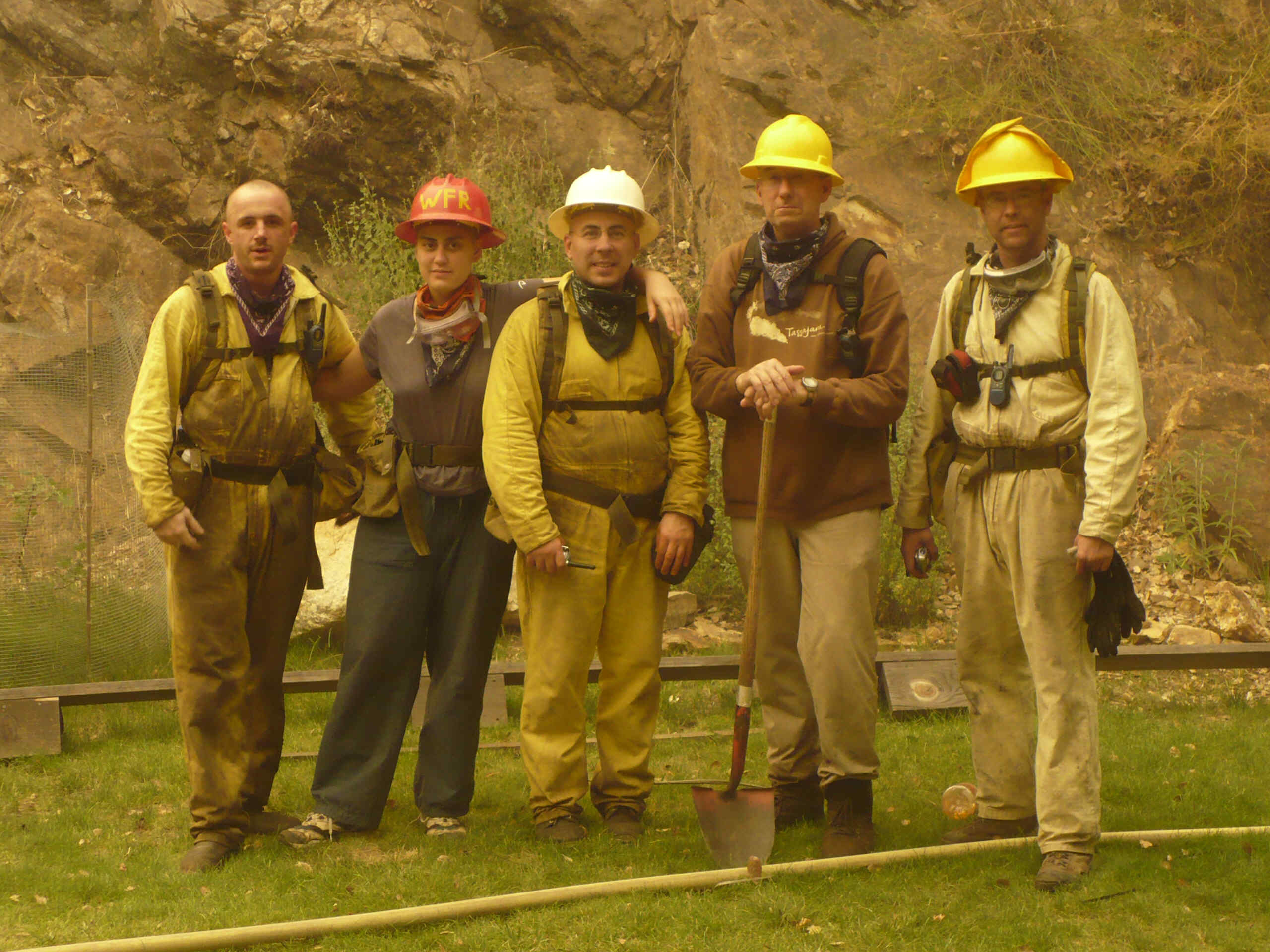
I never saw the Ventana Wilderness as it had been, it burned two years before I came; but hiked over the ridge my first or second summer and there was unburned forest in Willow Creek, huge trees. Burning now. "Several fire trucks, at least 15, sped by Jamesburg this afternoon from many different counties, including Contra Costa, LA and Ventura. Only two went all the way into Tassajara bringing in supplies such as hard hats and goggles and foam. The fires continue to creep towards Tassajara from the Willow Creek and Tasssajara Creek watersheds, and from the ‘Oryoki Bowls’ (the W, NW, and SW)."

Right now Firefighter Blog has the most recent image from GeoMac, and it's scary scary. The fire is doing what it pleases. The fire season has only just begun. Months more of this, in many other people's beloved places. Centuries more of it, as the earth warms. ZMC's page is posting a screen grab of the Forest Service's hourly CONUS data Google Earth file once a day. The Los Padres National Forest current conditions page missed yesterday's updates. They're busy. Tassajara's own page sometimes is most current, as in the quote above. The folks at Jamesburg are keeping a Sitting With Fire blog.

Wednesday, July 02, 2008

Shipwatching

A couple of days ago, out on the Hook. Pilot boat went out into the Strait and put a pilot on the inbound Overseas Los Angeles, a tug went out to join her, pilot boat returned to berth. I thought they were headed into Puget Sound, but Overseas LA and escort tug proceeded into the harbor, passed several other moored tankers, and parked with Klahane Ridge in the background. Pilot boat went out into the harbor and retrieved the pilot. I was never able to read the name of the tug.

Threesome. Tug at port bow, pilot boat approaching ladder. Click for larger image.

Portrait of a Foss tug. Can't remember what scrap of paper I scribbled its name on. Blue structure in the background is a chip loader. Behind it, the bluff at the foot of my neighborhood. Skyline shows Unicorn Peak and Hurricane Hill.

Foss tug. Click for larger image.

Holiday week in both countries on the Strait, Canada Day yesterday, Independence Day on Friday. A flotilla of wooden sailing "tall ships" including a replica of the Bounty were here in harbor, en route to or from Victoria, sailing around islands, reappearing in the harbor a few days later. Not as tall as the behemoth tankers, not as doughty as Coho. Not an effort to bring back and carry forward, as are the northwest tribal canoes we will soon be seeing out on the water. It didn't seem worth rushing down to the dock to look at them.